
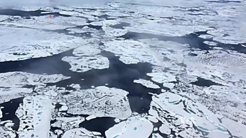
A new database is providing scientists with a more accurate picture of rising sea levels. Using satellite imagery and data, climate experts can map the speed and flow of ice sheets and glaciers worldwide near real-time. With warmer global temperatures, ice sheets and glaciers have been melting, leading to rising sea levels. VOA’s Deborah Block has more.
Satellite Images Help Scientists Predict Rising Sea Levels


